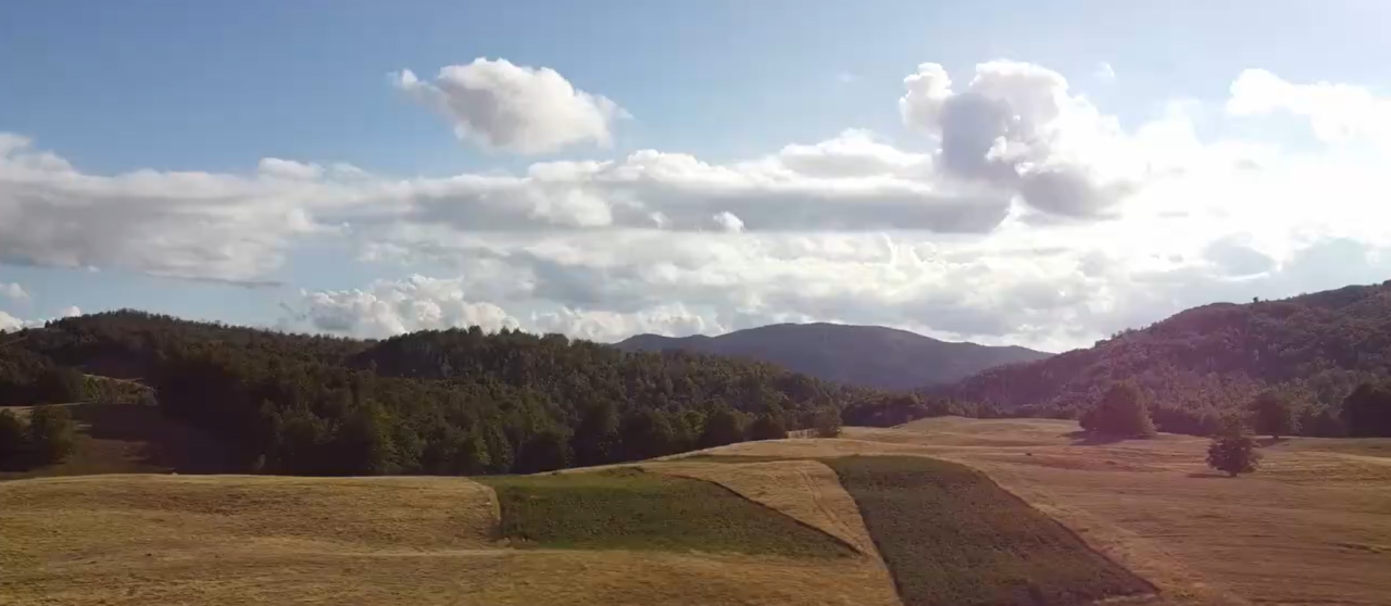
Informations de base sur le site:
- zone totale: 428 290 m2
- Numéro cadastral: 284/2
- Catégorie: Utilisation agricole (prairies, pâturages, en partie forêt)
- Emplacement: District de Smolevina, Gradachka Polyana, Nikshich
- Coordonnées: environ 42.880673, 19.079759 (les bordures sur la carte sont jointes)
- L'intrigue est une masse terrestre intégrale, adaptée à une utilisation agricole ou touristique.
Infrastructure:
- Électricité: La ligne de transmission de puissance traverse le site, à côté de la sous-station du transformateur Sts Gradačka Poljana (342). La connexion est possible.
- Eau: Il y a une source naturelle d'eau potable à proximité, un bassin versant utilisé par les résidents locaux.
- Route: Le site a un accès pratique sur une surface dure , le voyage est possible toute l'année
Statut juridique:
- Le terrain est enregistré dans le registre, est en propriété partagée
- Il y a tous les documents juridiques : un extrait du registre, un plan cadastral.
- Selon la lettre d'Opština Nikšić (2025), il est possible de construire des installations économiques, touristiques et de service sur le site, sous réserve de conditions de base (à partir de 600 m2, conformité aux marges et conditions techniques)